Weekend weather struggles continued over Father’s Day weekend as temps were cool and once again some Saturday rain rolled through. Although, Father’s Day itself was better with highs back in the mid 60s to near 70.
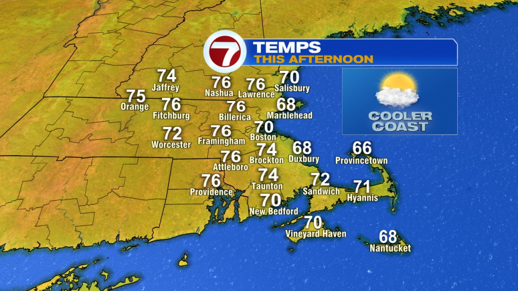
The next couple of days still run on the cooler side, but not as chilly. Highs this afternoon run mid 60s to near 70 along the coast and in the mid 70s inland. Morning fog yields to sun for most by 8-9am. Clouds build this afternoon inland too.
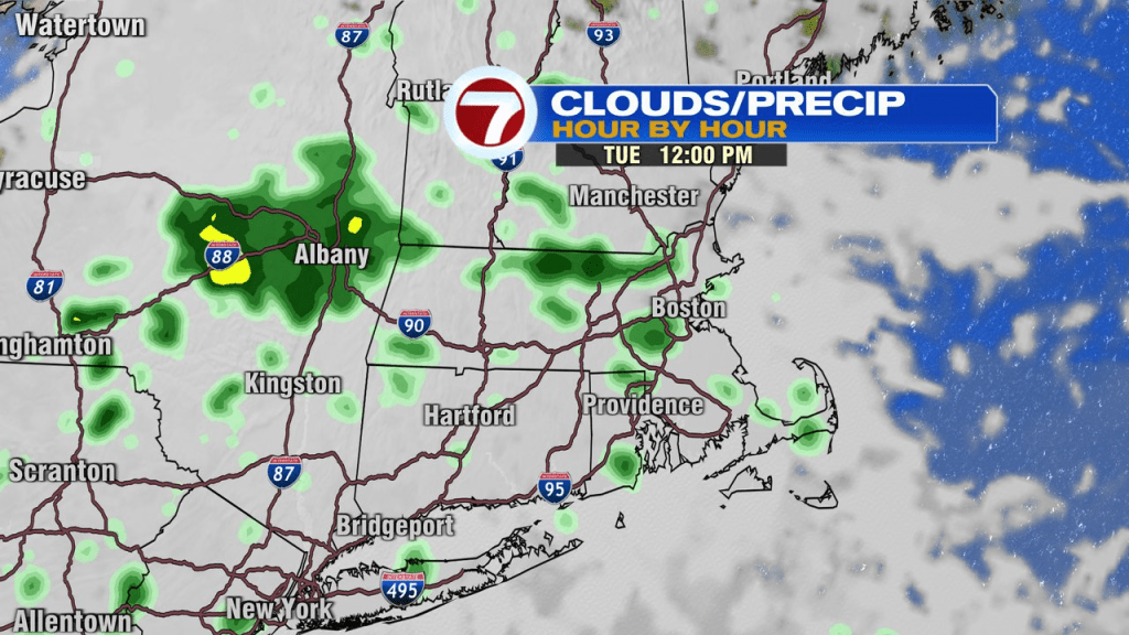
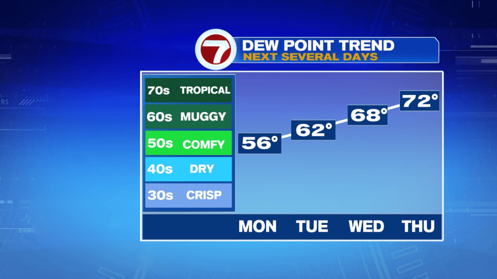
Low clouds fill in tonight with some patch fog developing. That’ll allow for a gray start to tomorrow. While we’ll track a few spotty showers tomorrow, a lot of the day is dry with temps near 70 under a mostly cloudy sky. Dew points start to move up too, so it’ll be a bit muggy.
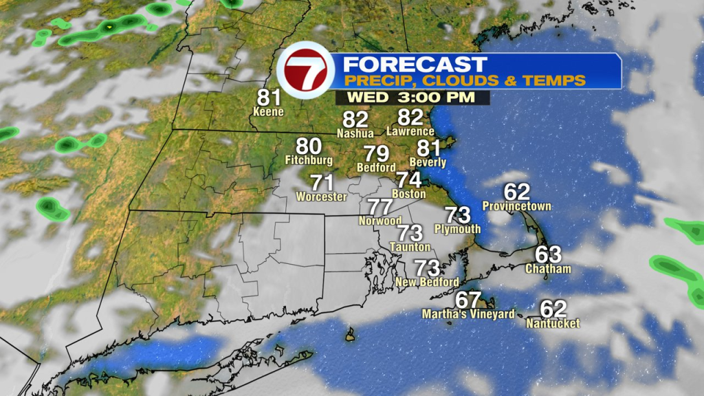
The humidity jumps up Wednesday with morning scattered showers and clouds tapering off to partial sunshine and near 80 degree weather in the afternoon.
Peak heat and humidity arrive Thursday with temps near 90 and dew points near 70. A late day thunderstorm is possible with an incoming cold front, but the bulk of the day is dry if you have the holiday off. Splash pads, pools and beaches will be a popular spot given the forecast.
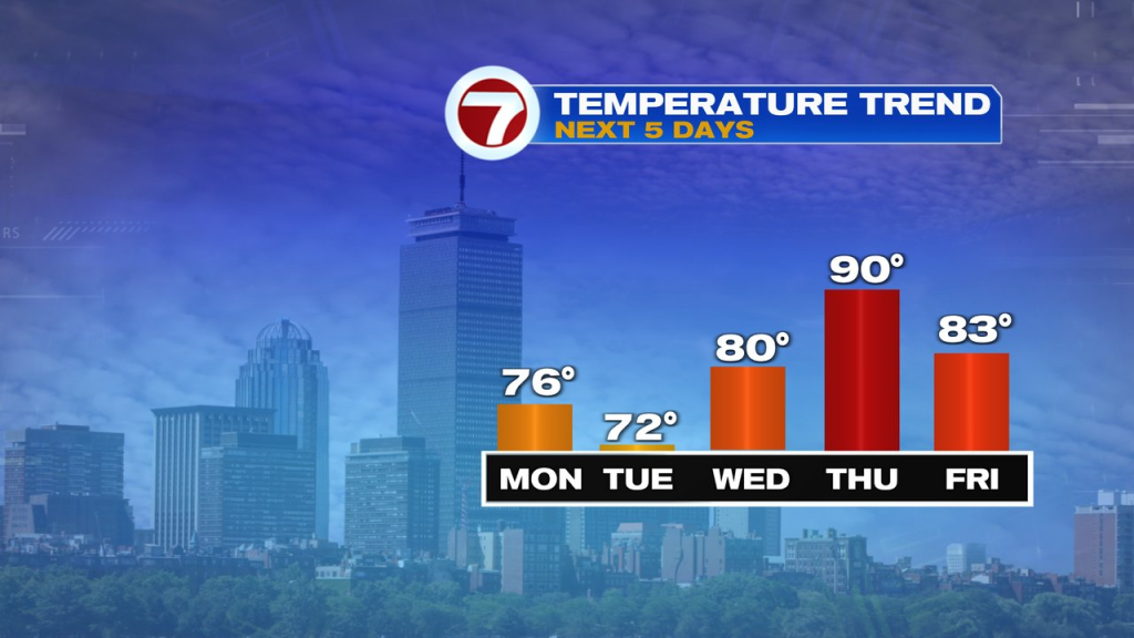
Friday looks solid as humidity drops off and temps run in the low to mid 80s. A late-day showers/storm is possible, but again looks mainly rain-free.
A weekend with warm air and mainly dry? Can’t be! Our streak of 13 Saturday’s in a row with some rain may be coming to an end! Low to mid 80s likely over the weekend.
Leave a Comment